


Ecological
The staff at Trident Environmental is highly experienced in wetland restoration and mitigation. Trident has prepared conceptual and construction plans for wetland mitigation projects and has constructed and supervised these projects in the field. Mitigation projects designed by Trident have been successful in converting uplands to wetland habitats, restoring wetlands, and in securing final agency approval.
In addition to wetland investigation, mitigation and restoration services, Trident is highly experienced in other areas of ecological consulting including:
- Habitat suitability assessments
- Habitat construction and management
- Threatened and Endangered Species Assessments
- Wetland permitting and mitigation
- Soil, water and sediment sampling
- Environmentally-sensitive area mapping
- Baseline ecological evaluations
- Ecological risk assessment
- Natural resource planning
- Greenway and corridor planning
- Ecological evaluation of hazardous waste sites
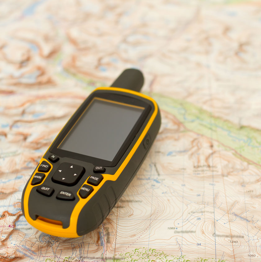
GPS & GIS Services
Trident utilizes Geographical Information System (GIS) software and Global Positioning Systems (GPS) to accurately collect data, manage, analyze, and display all forms of geographically referenced information. GIS allows us to view, understand, question, interpret and visualize data in many ways that reveal relationships, patterns, and trends in the form of maps, databases and reports. With an experienced staff of geospatial technology professionals, Trident offers a full spectrum of GIS and GPS services.
GPS Services
Trident utilizes in-the-field mapping techniques to collect data for a wide-variety of environmental projects and utility infrastructure projects. Field data collected includes:
- Wetland and habitat delineations
- Soil boring locations and monitoring well locations
- Vegetation data and classification
- Stormwater inlet and sewer systems
- Traffic signals and signs
- Fire hydrants
- Parking meters
- Pipeline mapping
GIS Services
GIS is a valuable tool used for geospatial data management, geospatial analysis, data development, custom mapping,
land use planning and comprehensive research. GIS can be integrated into any of the following industries:
General GIS
Services:
- Custom mapping
- GPS field data post-processing
- GIS data creation, conversion
and management - Geospatial analysis and modeling
- Address geocoding
Environmental
Services:
- Environmental sampling analysis
- Fate and transport modeling
- Groundwater elevation mapping
- Habitat and wetlands mapping
- Land use planning
Municipal Government
Services:
- Utility infrastructure mapping
(i.e., storm water inlets, manholes, fire hydrants, parking meters) - Municipal maps for roads, zoning and land use
- Trash pickup and snow plow routes
- Crime location mapping
- Address maps and atlases
- Rental property spatial database
- Parcel mapping
School District
Services:
- School district mapping
- School attendance boundary maps
- Walk-to-school maps
- School redistricting
Business
Services:
- Managing, visualizing, analyzing and reporting of geo-business information
- Planning, managing and accounting for location-based assets
- Support for analysis, strategic planning, opportunity identification, reporting, decision-making and risk mitigation
- Map and report presentation